[Landmarks of Baqi and Dashibishan]
[The past and present of the Huadong Coast Road (Part 6)]
Take Provincial Highway 11 southwards and pass through Shuilian Village before you pass the Baqi Observatory!
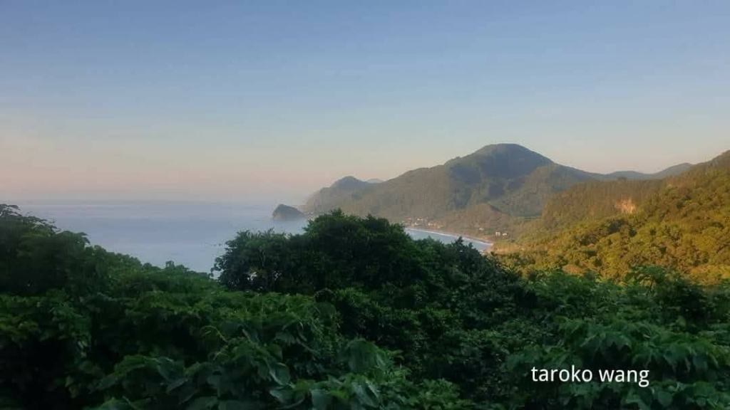
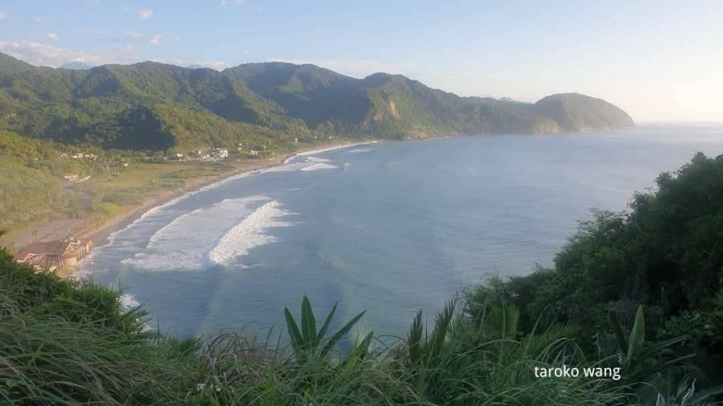
The Baqi Observatory is located at the highest point of Provincial Highway 11. The towering mountains on both sides form a contrast with the Pacific Ocean coast. In addition, the high geographical location allows you to clearly see the Jiqi Bay, Guihou Cape and Xinshe Cliff. It is a must-visit rest stop for many people traveling along the Eastern Coast Highway. In addition to the azure coastline, the winding East Coast Highway on the side can also be seen at the same time. The beautiful scenery is no wonder it is called one of the most charming scenery on Provincial Highway 11.
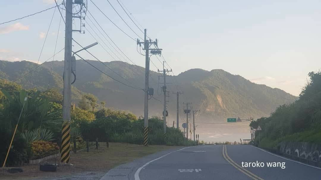
Baqi Observatory can be said to be the most beautiful “turning point” of Provincial Highway 11 heading south.
In the early days, before the east coast was widened,
we started wandering in the coastal mountains from Isozaki Beach to the north.
I remember there was the Basaki Observatory at that time, and I would rest and daydream at the Basaki Observatory almost every time I passed by.
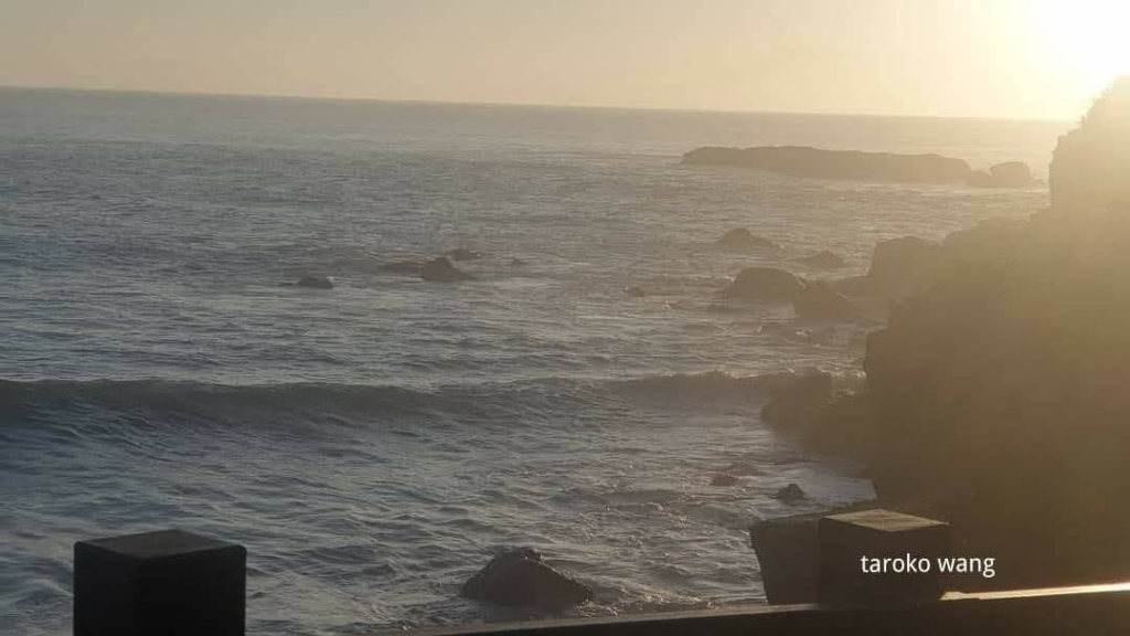
When passing this hairpin bend, the scenery changes from the lush green forests on both sides to the vast Pacific Ocean and the majestic coastal mountains. Walk into this observation deck and look eastward, the Pacific Ocean is azure blue, and to the south you can overlook the top of Dashibizhan on the south side of Isozaki Bay. It is obvious that it is Dashibizhan, which looks like a fairly regular triangle and can be seen from afar!
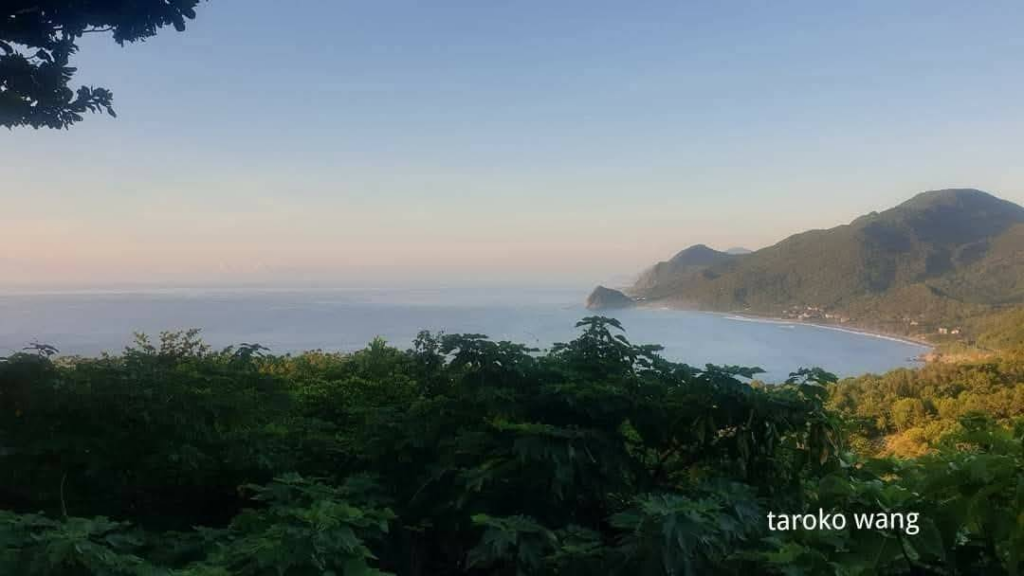
The formation of such beautiful landforms is mainly due to the different hardness of geology, due to the different hardness of igneous rocks and sandstones.
Hualien’s Jiqi Beach is made of soft sand and shale. Due to the differential erosion of ocean currents over the years, the terrain has sunken inward to form a bay. Waves and coastal currents have transported sand and gravel to the seashore, forming a fine and soft beach. The north and south sides are hard volcanic breccias. The contrast between the sand and the rock makes us admire the uncanny workmanship of nature. It is a great geological landscape classroom.
It also reminds me of the old days when you could see Dong’ao Bay when you turned a corner while traveling south on the Suhua River. Now if you travel directly from Su’ao to Dong’ao on the Suhua River, you won’t see this view!
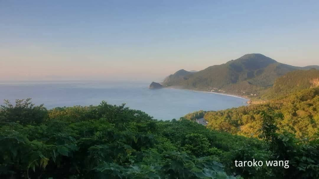
The Dashibizhan trail is next to the famous Hualien Jiqi Beach, which is also the only two bathing beaches on the East Coast.
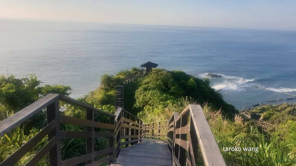
Dashibizhan is located at the southern end of Jiqi Seaside Recreation Area. It is a small hill protruding from the coastline. Because the landforms are mostly huge rocks, the geographical location protruding from the coast is like a “nose” and the shape of the mountain is like a turtle’s back, so it is called “Dashibizhan” or “Guianshan”. It is 750 meters long and can be completed in just 15-20 minutes. It is a family-friendly trail!
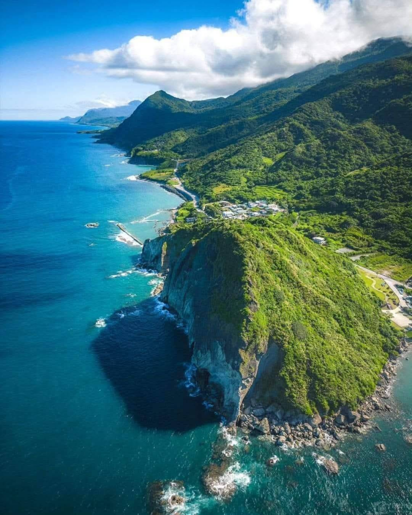
I remember that in the past when I passed the Dashibini Mountain Trail, it was often already noon in the summer, and I was sweating profusely before I even started climbing, so I didn’t climb the mountain and wait for the trail.
The round trip time for the Dashibini Mountain Trail should be controlled within 30 to 40 minutes. Friends with fast walking speed may be able to complete it in 20 minutes!
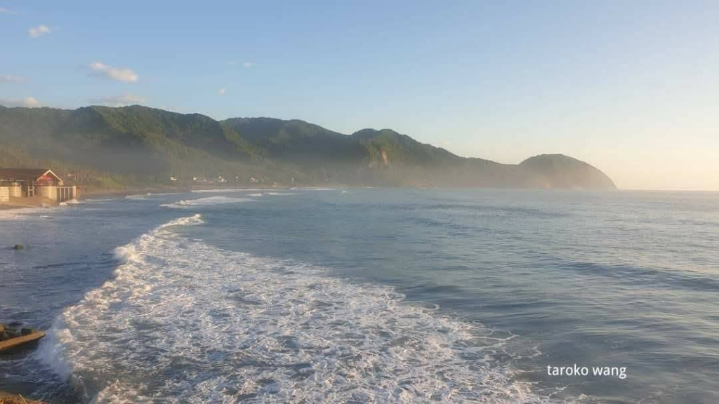
The “Da Shibi Mountain Trail” was built along the mountain, with a total length of 750 meters. There are entrances and exits at the north and south ends, as well as public toilets and parking lots. The hiking trail is well planned, with mileage signs and pavilions along the way. Most of the stairs are made of sleepers and stones, and the steps are not very undulating, making it very comfortable to walk on. The entire trail can be completed in less than an hour. When the weather is clear, you can see grass, allium, sweet olive, wild lily and other forests along the trail, which is very suitable for observing the flora and fauna and topographical landscape. After reaching the top, you can overlook the 360-degree view of Provincial Highway 11, Isozaki Bay and the blue Pacific Ocean. There are also landscape pavilions for travelers to rest. It is a natural ecological trail suitable for parents and children to travel together.
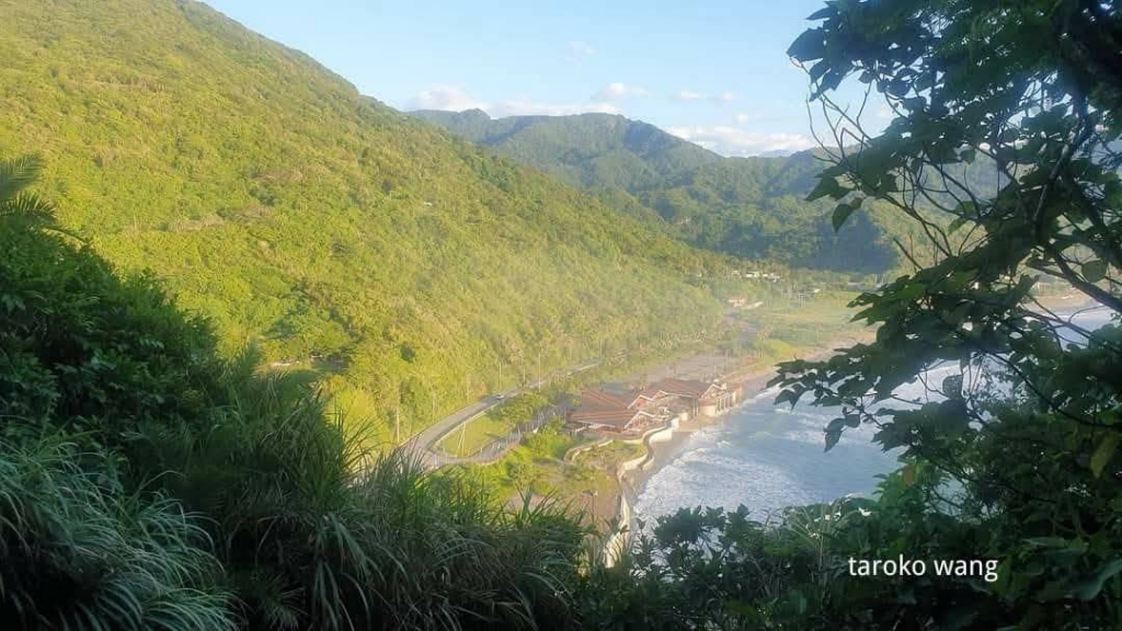
The neighboring Jiqi tribe is the tribe with the largest number of Sakilaya people and the one that has most completely preserved the Sakilaya characteristics.
After the Jialiyuan Incident in the fourth year of the Guangxu period of the Qing Dynasty (1878),
the Sakilaya people who originally lived in Hualien moved southwards among the Amis people and settled on the north bank of the present-day Jialulan River Mouth.
At that time, the Sakilaya people deliberately concealed their identities to avoid retaliation from the Qing army, and the tribe name was not officially restored until 2004.
The Sakilaya people, formerly translated as the Qilai people, Sakilaya, Sakzaye or Shakizaya, are an ethnic group of Taiwan’s indigenous people. They have lived in the Qilai Plain of Hualien for generations. There are about one thousand people whose population data has been reported to the Ministry of the Interior. The “Sakilaya people” have lived in the Qilai Plain of Hualien (that is, the Hualien Plain) for generations. Their sphere of influence is approximately south of the “Liwu River” and north of the “Mugua River”. They were once the largest indigenous ethnic group on the Hualien Plain.
When I was a child, I was taught that there were 9 indigenous tribes, and now 13 tribes have been renamed. Of course, more tribes will be renamed in the future.
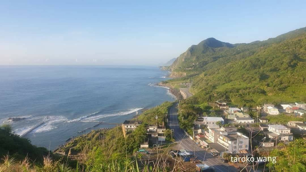
I remember that not far south of Dashibin Mountain is the Xinshe tribe of Gemalan!
The landscape and culture of the East Coast are both wonderful!
https://m.facebook.com/story.php?story_fbid=820881609828113&id=100057188450585&mibextid=Nif5ozSEO
