【Northeast Point Road Today and Past Gaiden Twenty-Two】
[The unique charm of San Diao Ridge]
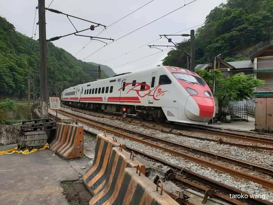
Photos before the epidemic
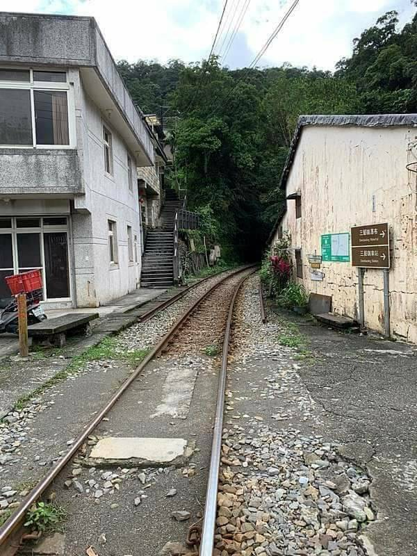
Sandiaoling can be said to be a railway town, a hometown of coal and waterfalls.
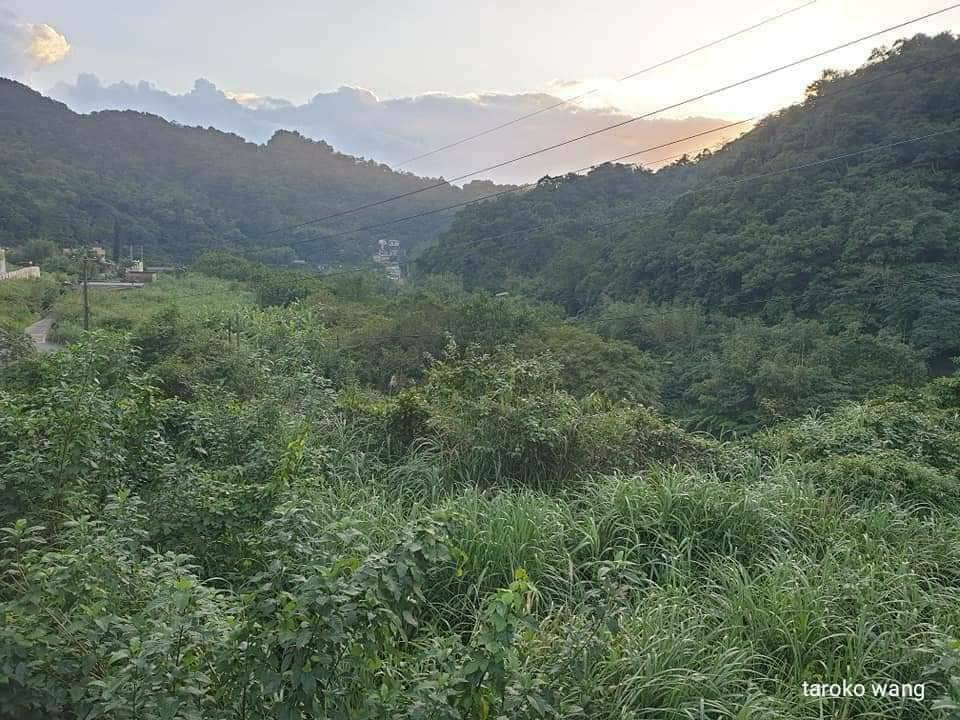
As far as railways are concerned, Sandiaoling Station was a very important signal station in the early days, responsible for the dispatching function of Yilan Line and Pingxi Line.
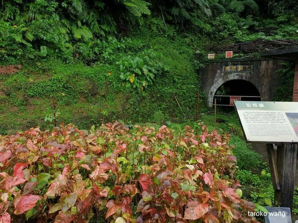
With the double-tracking and electrification, this station no longer has the train dispatching function, and has become a small station where only EMUs stop.
This is a small station not to be missed by railway fans. Sandiaoling Station on the Yilan Line is like Dongli Station, Shanli Station on the Huadong Line, and even Duoliang Station on the Taitung Line.
The special features of San Diao Ridge in terms of geographical topography: waterfalls and potholes
Beishi Creek and Nanshi Creek, important water sources in the north, are both closed, but Keelung River is not.
, the only place where you can play with water in Keelung River. You can play with water, SUP and rafting. Among the secret places to play with water along the Keelung River, Sandiao Ridge is the only one.
This is the hometown of waterfalls in Taiwan. There should be more than 20 waterfalls per unit area, because of several beautiful reasons
(1) Topographic fault
(2) River raids
(3) Several times the rainfall
The average annual rainfall here is three times that of Taiwan.
The above are the main reasons for the formation of Waterfall Country!
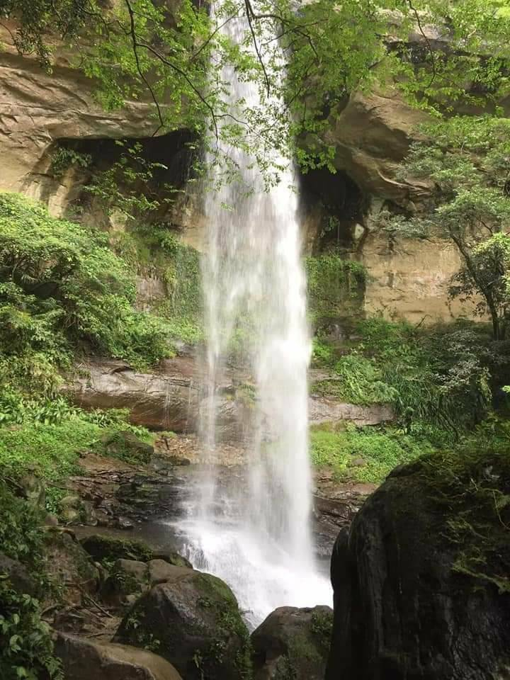
The waterfalls on the Sam Diao Ling Waterfalls Trail are Hegu, Motian and Loquat Cave Waterfalls. During the holidays, there will be many hikers. As one of the branches of the Tamlan Ancient Trail, the “Sam Diao Ling Trail” has green trees along the way. There are shade trees, gurgling streams, and varied landscapes. Sometimes there are forests, sometimes there are suspension bridges and flowing water, there are cliffs and boulders, and there are also groups of waterfalls. It can be said that it is full of charm.
In addition, the Dream Temple and Dream Waterfall on the other side are the icing on the cake.
The only two rivers in Taiwan are Dajia River and Keelung River;
The Keelung River was captured by rivers, so the Keelung River currently does not go out to sea from the northeast corner
Among the three major tributaries of the Tamsui River, the Keelung River Basin has the lowest terrain and the smallest area, accounting for only about 20% of the entire Tamsui River Basin area.
The Keelung River originates from the mountains west of Shidi Village, Pingxi Township, Taipei County. It flows northeast through Jingtongkeng, Pingxi, Shifenliao, Dahua, and Sandiaoling, and then turns to Hou after passing Sandiaoling. Cave, Ruifang, Sijiaoting, Nuannuan, and finally reach Badu.
Generally, Ruifang and above are classified as the upper reaches of the Keelung River, which is about 13 kilometers. The terrain along the coast can be seen in canyons, waterfalls, potholes, river steps, water grabbing terrain, etc.
The Keelung River is not far east of Pingxi and encounters another source of the Keelung River, Dongshige River. The Dongshige River flows into the Keelung River from the south. The valley has the highest average annual rainfall recorded in Taiwan, which was once as high as 6572㎜.
From Jingtongkeng to Sandiaoling, the flow direction of the Keelung River is consistent with the direction of the geological structure, which is a typical longitudinal valley topography.
The Keelung River and Jingmei Creek had river conflicts with each other. Because the Keelung River path is so weird, except for geologists who infer that Ningzitan and Shen’ao Bay are ancient river mouths, many other places are suspicious of old river channels.
Between Jingtongkeng and Sandiaoling, due to the nearly horizontal layering of the rock layers beneath the Keelung River bed, and the difference in hardness between soft and hard rock layers, the Keelung River bed appears in a ladder shape, which means that the entire river bed is A rapid or waterfall with a steep slope is cut into several relatively gentle riverbed sections.
There are few deep and narrow canyons in the upper reaches of the Keelung River, but waterfalls are very frequent. For example, there are many waterfalls near Shifenliao, which is located on the vast river terrace.
Between Dahua Station and Sandiao Ridge, the Keelung River bed cuts into the hard warm sandstone layer, resulting in a canyon landscape here.
Between Dahua Station and Sandiao Ridge, rocks are exposed from time to time on the river bed of the canyon, and there are many smooth potholes on the rock surface, which are pot holes.
There are many potholes and waterfalls in San Diao Ridge from Dahua, which can be said to be the hometown of waterfalls and potholes!
No one can surpass the representative of the unparalleled national scholars; San Diao Ridge is the hometown of waterfalls in Taiwan and can be said to be “unparalleled in the country”!
